Walking Trails around McDowell County

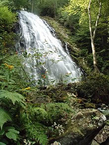
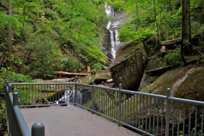
Grassy Creek Waterfall Trail
Visit the Grassy Creek Waterfall Trail in Little Switzerland this week, you'll be so glad you did!
Crabtree Falls
A visit to Crabtree Falls on the blue Ridge Parkway this week would deliver wonderful family memories to treasure.
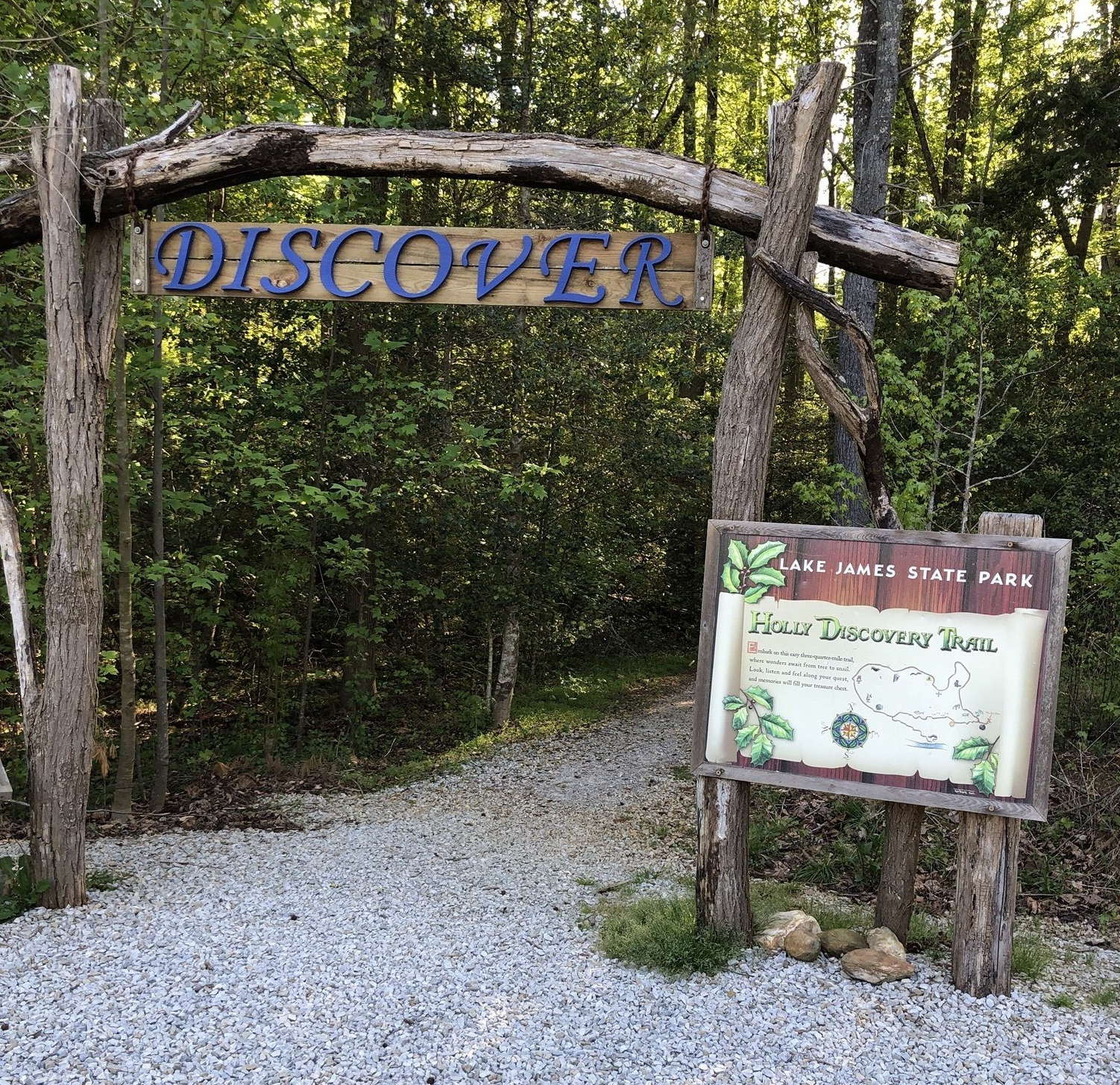
Holly Discovery Trail
https://www.ncparks.gov/lake-james-state-park/trail/holly-discovery-trail
Take the family on an adventuresome flat short trail in Paddy's Creek, Lake James, and discover nature in a new way!
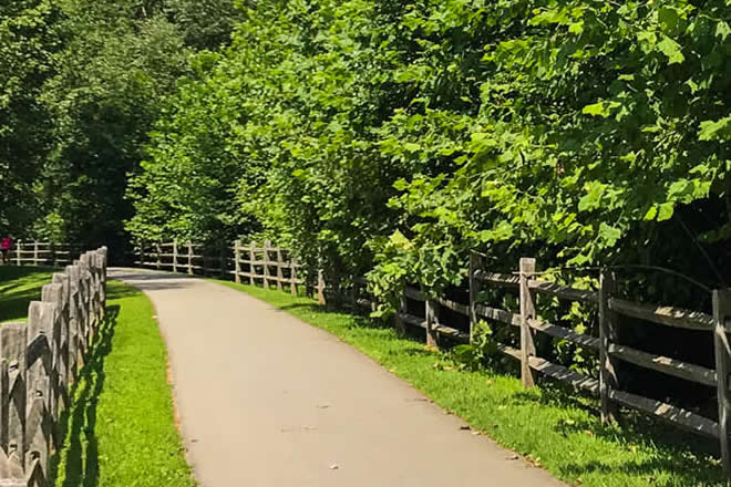
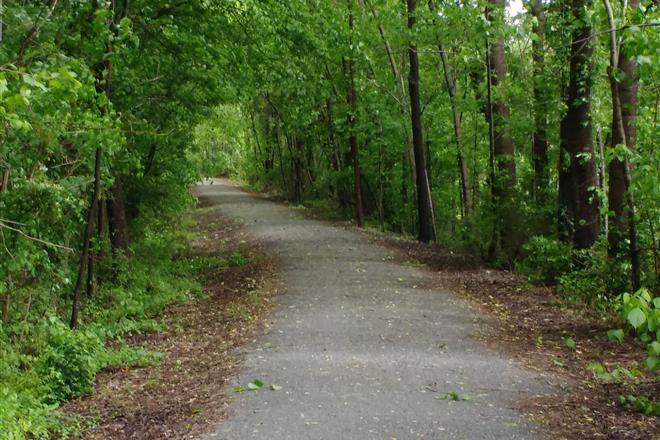
Joseph McDowell Memorial Greenway
Bring the family this week to the wonderful McDowell Greenway along the Catawba River. Perfect for biking or walking, with plenty of nature to see, and even stops along the trail
A flat, peaceful walk along the side of the Catawba River
From Marion, take Hwy 221 north toward Sevier. Soon you will be at the intersection for Hwy 70. Make a left turn onto 70 like you are headed to Old Fort. Cross the freeway intersection and go past the Mc Donald’s. In less than a mile you will see the entrance to the Joseph Mc Dowell Greenway on your right. Turn in and park in the lot. There is a handicap parking spot if needed.
The trail starts at the parking lot. As you enter, check the info at the kiosk on your left.
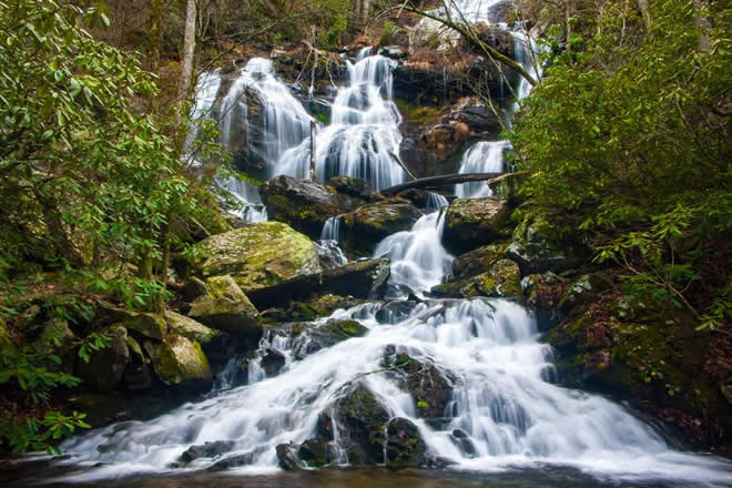
Catawba Falls Trail
https://www.hikewnc.info/trailheads/catawba-falls/
Want to do something spectacular this week? Take a short moderate hike to Catawba Falls, and enjoy an amazing family adventure!
A moderate hike with a climb to the falls, a dirt path with a stream to cross.
From Marion, take Interstate 40 to exit 73. At the end of the ramp turn left. Go under the freeway bridge then almost immediately, take the right toward Old Fort Recreation Park. You’ll think you’re turning the wrong way on the Interstate but you’re not. Make a left. Again, you’ll see the sign to Old Fort Recreation Park. Go about 3.5 miles until the road ends.
From the parking lot it’s a simple trail to follow.
Point Lookout Trail
Thinking of taking a hike this week? Make it special and visit Point Lookout, with some of the most spectacular views in the county!
A moderate hike with of around 5 miles up to the lookout point with terrific views!
From Marion, take Interstate 40 west to exit 73. Turn right toward Old Fort. At the big arrowhead turn left onto Hwy 70. In less than a quarter mile make a right turn onto Old Hwy 70. You’ll see a sign pointing to Andrews Geyser. Stay on this road until it ends in about 3 ˝ miles. You should see the sign pointing to the geyser on the right and the Old Fort Picnic grounds on the left. Continue straight ahead. You’ll see parking and the Forest Service Gate that is the start of the trail.
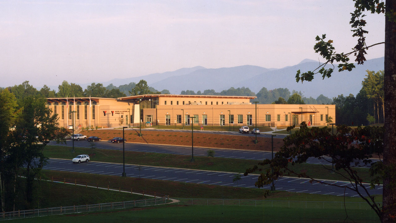
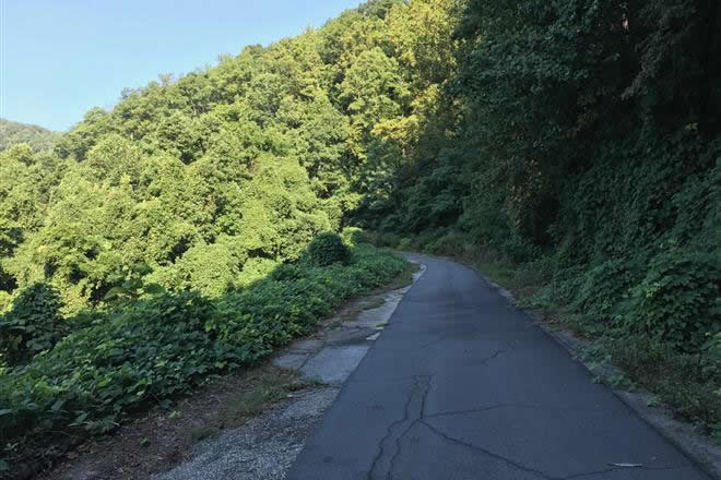
YMCA Greenway Trails
Visit the YMC Greenway Trails this week, short and paved, but packed full of natural beauty!
Peavine Trail
https://www.traillink.com/trail/peavine-trail-(nc)/
This week, why not walk an old ralway line along the Peavine Trail.
The Peavine Trail runs for 1.5 miles from State Street in downtown Marion, North Carolina to just south of the First Christian Church on Rutherford Road. Construction of the crushed gravel and grass trail began immediately after the City of Marion's purchase of 2.4 miles of the abandoned Peavine Rail Line from Norfolk Southern in 2010.
Tom's Creek Falls
https://www.hikewnc.info/besthikes/grandfather-ranger-district/toms-creek-falls
Get your comfortable shoes on this week and take a visit to Tom's Creek Falls near Woodlawn, come on out and enjoy the amazing scenery of McDowell County.
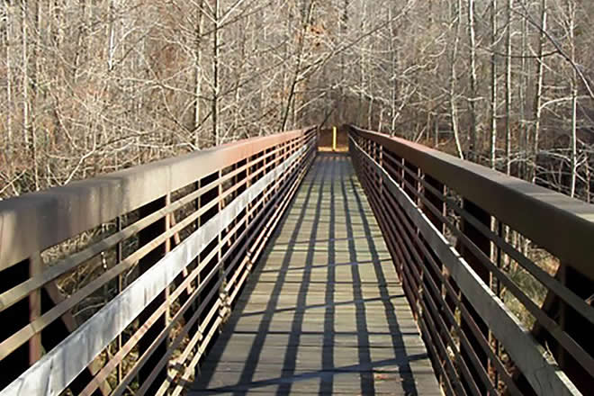
Footbridge across North Fork River
https://mcdowelltrails.org/northfork/
Why not take a trip across the North Fork River this week? It's a beautiful hike in the Woodlawn area. Explore it today!
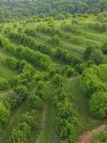
Orchard at Altapass Walking Trails
https://www.altapassorchard.org/
Take a walk through three different trails around a mountain orchard.
Three open trails that wind through a working apple Orchard; new trails are being developed over the summer. A moderate walk with slight changes in elevation. Dogs on leashes always welcome with the family. One can follow the growth of the heirloom apples all year round.